
File:Bay Area county map.png
Size of this preview: 600 × 600 pixels. Other resolutions: 240 × 240 pixels | 480 × 480 pixels | 667 × 667 pixels.
Original file (667 × 667 pixels, file size: 125 KB, MIME type: image/png)
Summary
| Description |
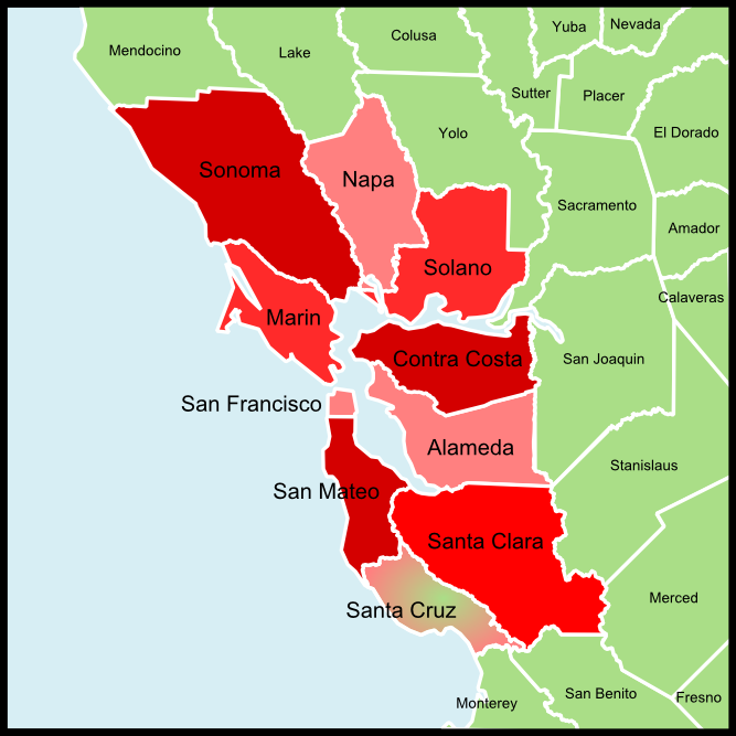
English: Map of the Counties in the San Francisco Bay Area — in northern California. |
| Date | |
| Source | based upon Image:California Bay Area county map.svg |
| Author | Kryston |
Licensing
| I, the copyright holder of this work, release this work into the public domain. This applies worldwide. In some countries this may not be legally possible; if so: I grant anyone the right to use this work for any purpose, without any conditions, unless such conditions are required by law. |
File history
Click on a date/time to view the file as it appeared at that time.
| Date/Time | Thumbnail | Dimensions | User | Comment | |
|---|---|---|---|---|---|
| current | 14:25, 12 September 2008 | | 667 × 667 (125 KB) | Kryston | {{Information |Description= |Source= |Date= |Author= |Permission= |other_versions= }} |
| 16:33, 29 August 2008 |  | 778 × 778 (146 KB) | Kryston | {{Information |Description=Map of the Bay Area counties |Source=based upon Image:California Bay Area county map.svg |Date=29.08.08 |Author=me |Permission= |other_versions= }} [[]]Category:San Francisco Bay Area]] <!--{{ImageUpload|basic |
File usage
The following 9 pages use this file:
- Wikimedia Foundation headquarters/Visiting San Francisco
- Wikimedia Foundation headquarters/Visiting San Francisco/ar
- Wikimedia Foundation headquarters/Visiting San Francisco/arz
- Wikimedia Foundation headquarters/Visiting San Francisco/en
- Wikimedia Foundation headquarters/Visiting San Francisco/es
- Wikimedia Foundation headquarters/Visiting San Francisco/fr
- Wikimedia Foundation headquarters/Visiting San Francisco/ko
- Wikimedia Foundation headquarters/Visiting San Francisco/mr
- Wikimedia Foundation headquarters/Visiting San Francisco/nan
Global file usage
The following other wikis use this file:
- Usage on bg.wikipedia.org
- Usage on de.wikipedia.org
- Usage on he.wikipedia.org