
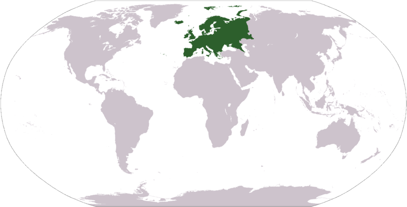
File:LocationEurope transparent.png

Size of this preview: 800 × 407 pixels. Other resolutions: 320 × 163 pixels | 640 × 326 pixels | 1,024 × 521 pixels | 1,280 × 651 pixels | 2,759 × 1,404 pixels.
Original file (2,759 × 1,404 pixels, file size: 43 KB, MIME type: image/png)
Summary
| Description |
Polski: Mapa świata z zaznaczonym obszarem Europy; mapa uzyskana z mapy w formacie PDF na CIA World Fact Book. |
| Date | (first upload to commons) |
| Source | Image:LocationEurope.png (previous: [1]) |
| Author | User:Nux (previous: User:Dado - first upload to commons) |
| Permission (Reusing this file) |
Public Domain |
| Other versions |
|
Other
- color depth: 256 Colors
- transparency: On
Licensing
| I, the copyright holder of this work, release this work into the public domain. This applies worldwide. In some countries this may not be legally possible; if so: I grant anyone the right to use this work for any purpose, without any conditions, unless such conditions are required by law. |
This image is in the public domain because it contains materials that originally came from the United States Central Intelligence Agency's World Factbook.
|
 |
File history
Click on a date/time to view the file as it appeared at that time.
| Date/Time | Thumbnail | Dimensions | User | Comment | |
|---|---|---|---|---|---|
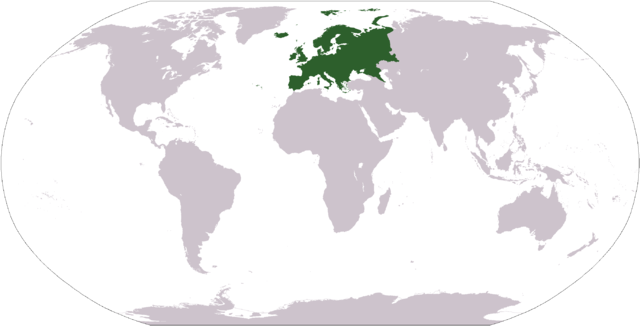
| current | 09:39, 3 April 2006 | | 2,759 × 1,404 (43 KB) | Nux | Irfan to GIMP - fixing small images rendering |
| 16:49, 1 April 2006 |  | 2,759 × 1,404 (45 KB) | Nux | == Summary == {{Information| |Description= * '''English'''<br/>World map depicting Europe; map adapted from PDF world map at CIA World Fact Book. * '''Polski'''<br/>Mapa świata z zaznaczonym obszarem [[:pl:Europ |
File usage
The following page uses this file:
Global file usage
The following other wikis use this file:
- Usage on eu.wikipedia.org
- Usage on he.wikivoyage.org
- Usage on it.wikipedia.org
- Usage on pl.wikipedia.org
- Dyskusja Wikipedii:WikiFaktoria/Wielka Brama
- Portal:Kategorie Główne
- Portal:Kategorie Główne/geografia
- Sezon 2008/2009 w curlingu
- Sezon 2009/2010 w curlingu
- Sezon 2010/2011 w curlingu
- Sezon 2011/2012 w curlingu
- Sezon 2012/2013 w curlingu
- Sezon 2013/2014 w curlingu
- Sezon 2014/2015 w curlingu
- Sezon 2015/2016 w curlingu
- Sezon 2016/2017 w curlingu
- Sezon 2017/2018 w curlingu
- Usage on sh.wikipedia.org
View more global usage of this file.