
File:Ostrolovský Újezd - zámek 1.jpg

Size of this preview: 800 × 600 pixels. Other resolutions: 320 × 240 pixels | 640 × 480 pixels | 1,024 × 768 pixels | 1,280 × 960 pixels | 2,560 × 1,920 pixels | 2,736 × 2,052 pixels.
Original file (2,736 × 2,052 pixels, file size: 3.76 MB, MIME type: image/jpeg)
|
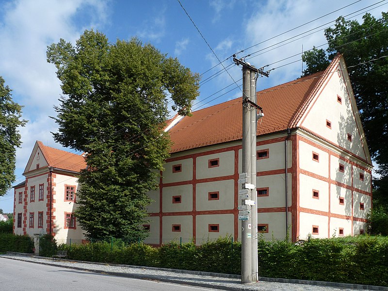
This is a photo of a cultural monument of the Czech Republic,
number: 26818/3-520. |
| Description | |
| Date | |
| Source | Own work |
| Author | Jitka Erbenová (cheva) |
| Permission (Reusing this file) |
Při použití fotografie mimo Wikipedie nutno uvést mé jméno/ Photo can only be used outside Wikipedia with my name |
| Camera location | | View this and other nearby images on: OpenStreetMap |
|---|
|
|
This photograph was taken within the scope of the third year of the 'Czech Municipalities Photographs' grant.
|
I, the copyright holder of this work, hereby publish it under the following license:
This file is licensed under the Creative Commons Attribution-Share Alike 3.0 Unported license.
- You are free:
- to share – to copy, distribute and transmit the work
- to remix – to adapt the work
- Under the following conditions:
- attribution – You must give appropriate credit, provide a link to the license, and indicate if changes were made. You may do so in any reasonable manner, but not in any way that suggests the licensor endorses you or your use.
- share alike – If you remix, transform, or build upon the material, you must distribute your contributions under the same or compatible license as the original.
File history
Click on a date/time to view the file as it appeared at that time.
| Date/Time | Thumbnail | Dimensions | User | Comment | |
|---|---|---|---|---|---|
| current | 17:03, 8 August 2011 | | 2,736 × 2,052 (3.76 MB) | Czeva |
File usage
The following page uses this file:
Global file usage
The following other wikis use this file:
- Usage on ceb.wikipedia.org
- Usage on ce.wikipedia.org
- Usage on cs.wikipedia.org
- Usage on de.wikipedia.org
- Usage on en.wikipedia.org
- Usage on eo.wikipedia.org
- Usage on es.wikipedia.org
- Usage on eu.wikipedia.org
- Usage on fr.wikipedia.org
- Usage on hu.wikipedia.org
- Usage on lmo.wikipedia.org
- Usage on nl.wikipedia.org
- Usage on pl.wikipedia.org
- Usage on sk.wikipedia.org
- Usage on sr.wikipedia.org
- Usage on sv.wikipedia.org
- Usage on tt.wikipedia.org
- Usage on vi.wikipedia.org
- Usage on www.wikidata.org