
File:Phewa Lake (फेवा ताल).JPG

Size of this preview: 800 × 533 pixels. Other resolutions: 320 × 213 pixels | 640 × 427 pixels | 1,024 × 683 pixels | 1,280 × 853 pixels | 2,560 × 1,707 pixels | 4,794 × 3,196 pixels.
Original file (4,794 × 3,196 pixels, file size: 8.11 MB, MIME type: image/jpeg)
.JPG)
Summary
| Description |
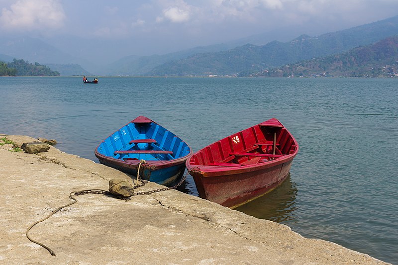
English: Shoot from Tal Barahi Temple, located at the center of Phewa Lake, is the most important religious monument of Pokhara.This two-storied pagoda is believed to be dedicated one of the Hindu god known as Vishnu.
|
||
| Date | |||
| Source | Own work | ||
| Author | Bijay chaurasia |
| Camera location | | View this and other nearby images on: OpenStreetMap |
|---|
.JPG¶ms=028.121462_N_0083.564237_E_globe:Earth_type:camera__&language=en)
The making of this file was supported by Maithili Wikimedians User Group.
For all the files concerned, please see the category Supported by Maithili Wikimedians User Group.
|
Licensing
I, the copyright holder of this work, hereby publish it under the following license:
This file is licensed under the Creative Commons Attribution-Share Alike 4.0 International license.
- You are free:
- to share – to copy, distribute and transmit the work
- to remix – to adapt the work
- Under the following conditions:
- attribution – You must give appropriate credit, provide a link to the license, and indicate if changes were made. You may do so in any reasonable manner, but not in any way that suggests the licensor endorses you or your use.
- share alike – If you remix, transform, or build upon the material, you must distribute your contributions under the same or compatible license as the original.
This image was uploaded as part of Wiki Loves Earth 2016.
|
 |
This image has been assessed using the Quality image guidelines and is considered a Quality image.
|
File history
Click on a date/time to view the file as it appeared at that time.
| Date/Time | Thumbnail | Dimensions | User | Comment | |
|---|---|---|---|---|---|
| current | 06:57, 17 May 2016 | | 4,794 × 3,196 (8.11 MB) | Bijay Chaurasia | straightened |
| 18:36, 16 May 2016 |  | 5,184 × 3,456 (9.43 MB) | Bijay Chaurasia | spot removal | |
| 17:42, 16 May 2016 |  | 5,184 × 3,456 (9.12 MB) | Bijay Chaurasia | User created page with UploadWizard |
File usage
The following 4 pages use this file:
.JPG)