
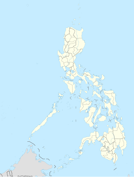
File:Philippines adm location map.svg

Original file (SVG file, nominally 1,871 × 2,467 pixels, file size: 719 KB)
Summary
| Description |
Deutsch: Positionskarte der Philippinen
English: Location map of the Philippines
|
||||||||||||
| Date | |||||||||||||
| Source |
Own work using:
|
||||||||||||
| Author | NordNordWest | ||||||||||||

|
This map has been made or improved in the German Kartenwerkstatt (Map Lab). You can propose maps to improve as well.
|
Licensing
Usage of this file with:

explanatory notes: Legally binding is only the full legalcode. For a free usage I recommend to respect the following licence conditions:
1. Provide my name as given above: NordNordWest,
2. a copy of, or the URI for, the applicable license: https://creativecommons.org/licenses/by-sa/3.0/de/legalcode,
3. the title of the work,
4. in the case of an adaptation, a credit identifying the use of the work in the adaptation.
This license and the rights granted hereunder will terminate automatically upon any breach by you of the terms of this license. Any of the above conditions can be waived if you get permission from the copyright holder. If you have questions or wish differing conditions, please contact me through nnwest or my discussion page ![]() t-online.de
t-online.de
- You are free:
- to share – to copy, distribute and transmit the work
- to remix – to adapt the work
- Under the following conditions:
- attribution – You must give appropriate credit, provide a link to the license, and indicate if changes were made. You may do so in any reasonable manner, but not in any way that suggests the licensor endorses you or your use.
- share alike – If you remix, transform, or build upon the material, you must distribute your contributions under the same or compatible license as the original.

File history
Click on a date/time to view the file as it appeared at that time.
| Date/Time | Thumbnail | Dimensions | User | Comment | |
|---|---|---|---|---|---|
| current | 19:10, 30 November 2023 | | 1,871 × 2,467 (719 KB) | NordNordWest | corr |
| 19:03, 30 November 2023 |  | 1,871 × 2,467 (719 KB) | NordNordWest | upd 2022 | |
| 20:19, 13 May 2016 |  | 1,871 × 2,467 (719 KB) | NordNordWest | == {{int:filedesc}} == {{Information |Description= {{de|1=Positionskarte der Philippinen}} {{en|1=Location map of the Philippines}} {{Location map series N |stretching=103 |top=21.2 |bottom=4.3 |left=114.1 |right=127.3 }} |Source={{Own using}} * United... |
File usage
The following page uses this file:
Global file usage
The following other wikis use this file:
- Usage on ceb.wikipedia.org
- Leyte (pulo)
- Sidlakang Samar
- Misamis Occidental
- Poro, Sugbo
- Ormoc
- Calbayog
- Tacloban
- Bontoc, Habagatang Leyte
- Padre Burgos, Habagatang Leyte
- Daram, Samar
- Maasin
- Salcedo, Sidlakang Samar
- Alcantara, Sugbo
- San Antonio, Amihanang Samar
- San Roque, Amihanang Samar
- Zumarraga, Samar
- Ajuy, Iloilo
- Tigbauan, Iloilo
- Mabini, Bohol
- Inabanga, Bohol
- Anda, Bohol
- Balamban, Sugbo
- Lazi, Siquijor
- Maria, Siquijor
- Siquijor, Siquijor
- Catmon, Sugbo
- Madridejos, Sugbo
- Tabogon, Sugbo
- Tabuelan, Sugbo
- Batanes
- Habagatang Upi
- Mapun
- Habagatang Ubian
- Turtle Islands, Tawi-Tawi
- Talakag, Bukidnon
- La Carlota
- Himamaylan
- Leon B. Postigo
- Jose Abad Santos, Davao Occidental
- Governor Generoso, Davao Oriental
- Dakbayan sa Iloilo
- Bantayan (pulo)
- Dakbayan sa Sugbo
- Malaybalay
View more global usage of this file.