
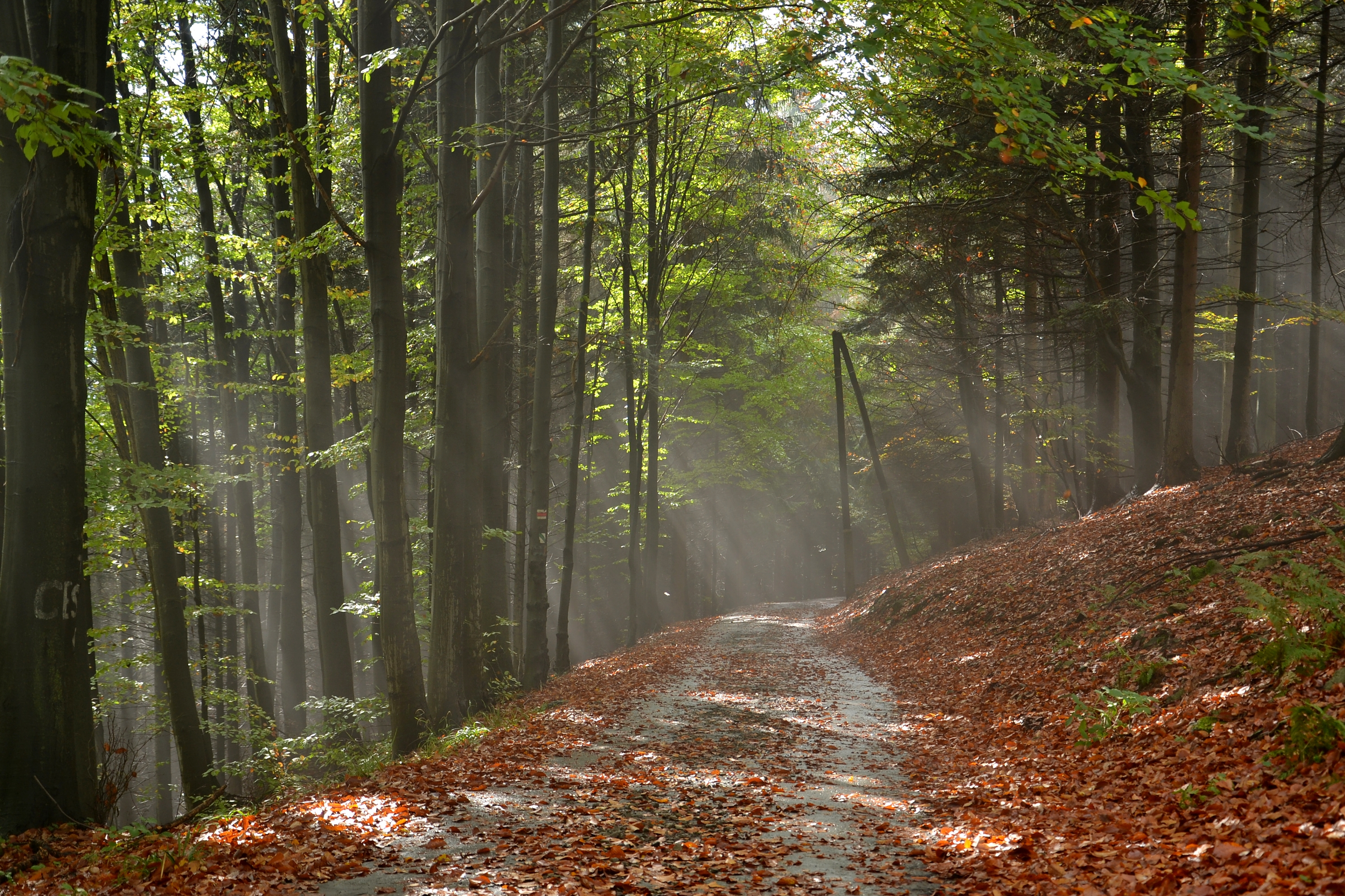
File:Slezské Beskydy - Rytířská stezka (cesta Nýdek - Velká Čantoryje).JPG
Size of this preview: 800 × 533 pixels. Other resolutions: 320 × 213 pixels | 640 × 427 pixels | 1,024 × 683 pixels | 1,280 × 853 pixels | 3,000 × 2,000 pixels.
Original file (3,000 × 2,000 pixels, file size: 4.94 MB, MIME type: image/jpeg)
.JPG)
Summary
| Description | |
| Date | |
| Source | Own work |
| Author | Pudelek (Marcin Szala) |
| Object location | | View this and other nearby images on: OpenStreetMap |
|---|
.JPG¶ms=049.676700_N_0018.799300_E_globe:Earth_class:object_dim:3km_region:CZ-MO_type:mountains_&language=en)
Assessment
|
.JPG)
| This Photo was created by Pudelek. You are free to use my photos, but please mention me as the author and send me a message on Wikimedia Commons or on the Polish Wikipedia. If you would like special permission to use, license, or purchase the image please also contact me. Thank you :) |
Licensing
I, the copyright holder of this work, hereby publish it under the following license:
This file is licensed under the Creative Commons Attribution-Share Alike 4.0 International license.
- You are free:
- to share – to copy, distribute and transmit the work
- to remix – to adapt the work
- Under the following conditions:
- attribution – You must give appropriate credit, provide a link to the license, and indicate if changes were made. You may do so in any reasonable manner, but not in any way that suggests the licensor endorses you or your use.
- share alike – If you remix, transform, or build upon the material, you must distribute your contributions under the same or compatible license as the original.
File history
Click on a date/time to view the file as it appeared at that time.
| Date/Time | Thumbnail | Dimensions | User | Comment | |
|---|---|---|---|---|---|
| current | 18:23, 13 November 2014 | | 3,000 × 2,000 (4.94 MB) | Pudelek | User created page with UploadWizard |
File usage
The following 2 pages use this file:
Global file usage
The following other wikis use this file:
- Usage on cs.wikipedia.org
- Usage on da.wikipedia.org
- Usage on de.wikipedia.org
- Usage on en.wikipedia.org
- Usage on en.wiktionary.org
- Usage on es.wikiquote.org
- Usage on ja.wikiquote.org
- Usage on oc.wiktionary.org
- Usage on vi.wikipedia.org
- Usage on www.wikidata.org
- Usage on zh.wikipedia.org
.JPG)