
File:Antigua and Barbuda location map Topographic.png
Size of this preview: 521 × 599 pixels. Other resolutions: 209 × 240 pixels | 417 × 480 pixels | 668 × 768 pixels | 1,111 × 1,278 pixels.
Original file (1,111 × 1,278 pixels, file size: 300 KB, MIME type: image/png)
Summary
| Description |
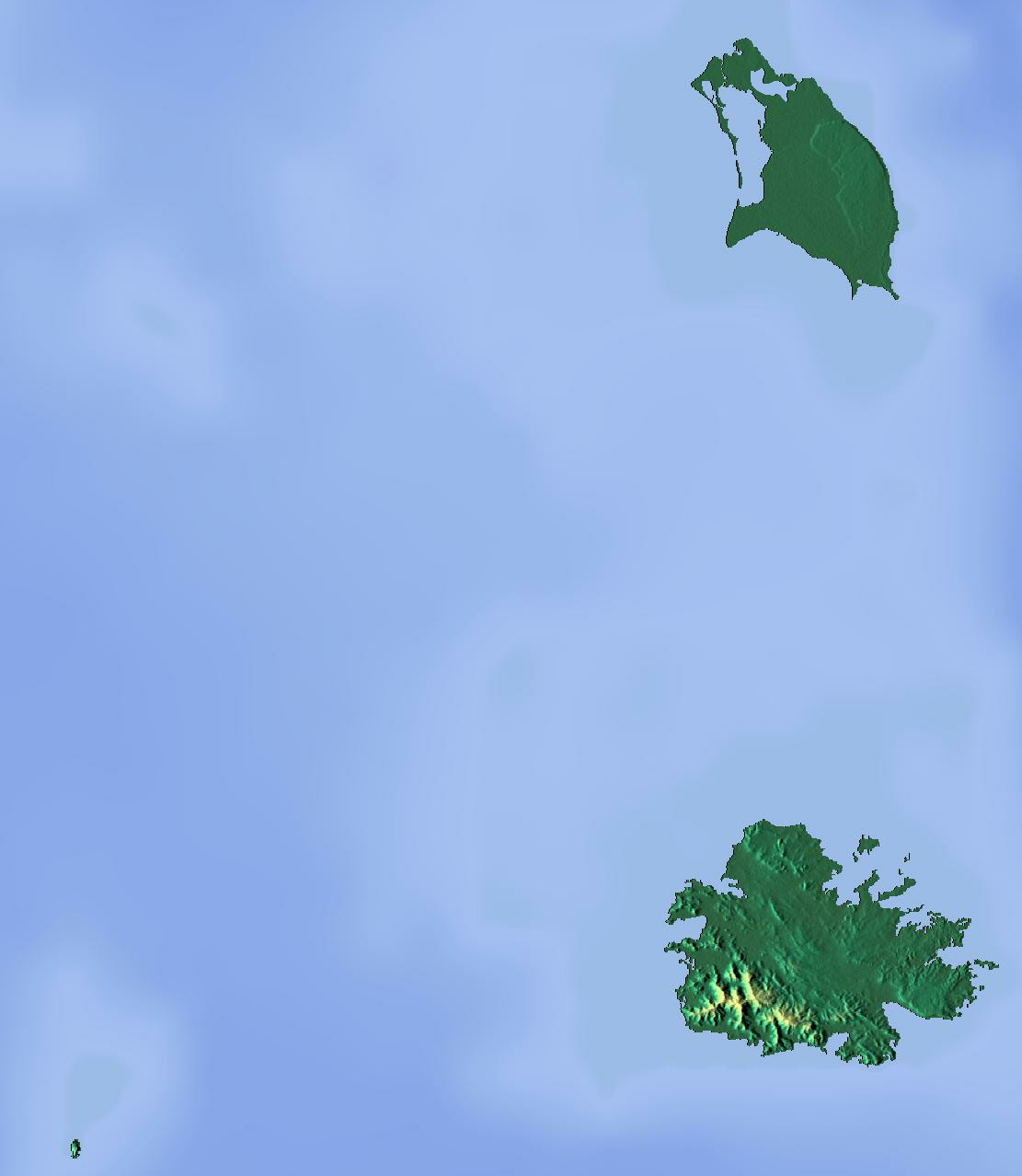
Deutsch: Positionskarte von Antigua und Barbuda. Geographische Begrenzungen der Karte:
English: Location map of Antigua and Barbuda. Geographic limits of the map:
|
| Date | |
| Source | Own work (backgroung : http://www.maps-for-free.com) |
| Author | Dr Brains |
Licensing
I, the copyright holder of this work, hereby publish it under the following licenses:

|
Permission is granted to copy, distribute and/or modify this document under the terms of the GNU Free Documentation License, Version 1.2 only as published by the Free Software Foundation; with no Invariant Sections, no Front-Cover Texts, and no Back-Cover Texts. A copy of the license is included in the section entitled GNU Free Documentation License. | 1.2 only |
|
|
Permission is granted to copy, distribute and/or modify this document under the terms of the GNU Free Documentation License, Version 1.3 or any later version published by the Free Software Foundation; with no Invariant Sections, no Front-Cover Texts, and no Back-Cover Texts. A copy of the license is included in the section entitled GNU Free Documentation License.
|
You may select the license of your choice.
File history
Click on a date/time to view the file as it appeared at that time.
| Date/Time | Thumbnail | Dimensions | User | Comment | |
|---|---|---|---|---|---|
| current | 16:46, 13 June 2012 | | 1,111 × 1,278 (300 KB) | Dr Brains |
File usage
There are no pages that use this file.
Global file usage
The following other wikis use this file:
- Usage on ar.wikipedia.org
- Usage on ast.wikipedia.org
- Usage on be.wikipedia.org
- Usage on bg.wikipedia.org
- Usage on bn.wikipedia.org
- Usage on bs.wikipedia.org
- Usage on ceb.wikipedia.org
- Usage on cs.wikipedia.org
- Usage on el.wikipedia.org
- Usage on en.wikipedia.org
- Redonda
- Antigua
- Prickly Pear Island
- Great Bird Island (Antigua and Barbuda)
- Crump Island
- Guiana Island
- Long Island (Antigua and Barbuda)
- Green Island (Antigua and Barbuda)
- Boggy Peak
- Codrington Lagoon
- Pelican Island (Antigua and Barbuda)
- McKinnon's Pond
- Module:Location map/data/Antigua and Barbuda/doc
- Antigua Formation
- Central Plain Group
- Highlands Formation
- List of fossiliferous stratigraphic units in the Caribbean
- Codrington Island
- Hell's Gate Island
- Maiden Island (Antigua and Barbuda)
- 1974 Lesser Antilles earthquake
- Module:Location map/data/Antigua and Barbuda
- User:Ty654/List of earthquakes from 1950-1999 exceeding magnitude 7+
- User:Ty654/List of earthquakes from 1960-1964 exceeding magnitude 6+
- Antigua Naval Dockyard and Related Archaeological Sites
- Usage on eo.wikipedia.org
View more global usage of this file.