
File:Caher Estuary-5638, Tralee Bay, Co. Kerry, Ireland.jpg
Size of this preview: 800 × 450 pixels. Other resolutions: 320 × 180 pixels | 640 × 360 pixels | 1,024 × 576 pixels | 1,280 × 720 pixels | 1,920 × 1,080 pixels.
Original file (1,920 × 1,080 pixels, file size: 475 KB, MIME type: image/jpeg)
Summary
| Description |
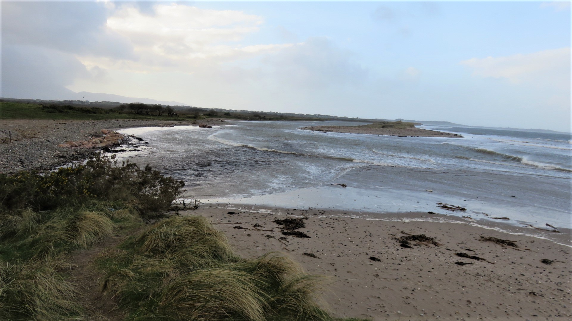
English: High Tide at the estuary of the Caher and Owennamallagh rivers, as it enters Tralee Bay, at Aughacasla Beach, east of Castlegregory, on the Dingle Peninsula. Both Brandon Head and the Maharees Peninsula can be seen in the background. |
| Date | |
| Source | Own work |
| Author | Maoileann |
| Other versions |
 |
Licensing
I, the copyright holder of this work, hereby publish it under the following license:
This file is licensed under the Creative Commons Attribution-Share Alike 4.0 International license.
- You are free:
- to share – to copy, distribute and transmit the work
- to remix – to adapt the work
- Under the following conditions:
- attribution – You must give appropriate credit, provide a link to the license, and indicate if changes were made. You may do so in any reasonable manner, but not in any way that suggests the licensor endorses you or your use.
- share alike – If you remix, transform, or build upon the material, you must distribute your contributions under the same or compatible license as the original.
File history
Click on a date/time to view the file as it appeared at that time.
| Date/Time | Thumbnail | Dimensions | User | Comment | |
|---|---|---|---|---|---|
| current | 17:46, 18 February 2022 | | 1,920 × 1,080 (475 KB) | Maoileann | Uploaded own work with UploadWizard |
File usage
There are no pages that use this file.