
File:Colombia Atlántico location map.svg

Size of this PNG preview of this SVG file: 420 × 599 pixels. Other resolutions: 168 × 240 pixels | 336 × 480 pixels | 538 × 768 pixels | 718 × 1,024 pixels | 1,436 × 2,048 pixels | 744 × 1,061 pixels.
Original file (SVG file, nominally 744 × 1,061 pixels, file size: 105 KB)
Summary
| Description |
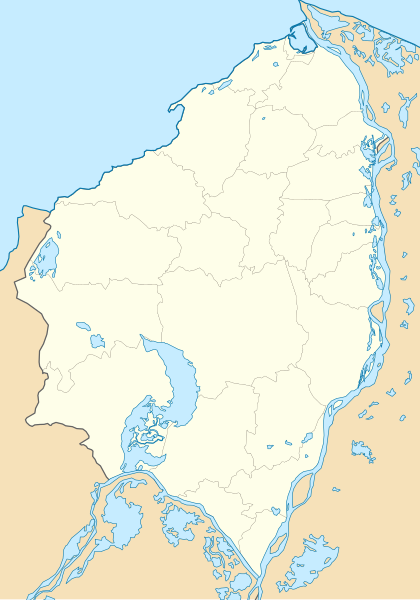
English: Location map of Atlántico
Equirectangular projection. Geographic limits of the map:
Español: Mapa localizador de Atlántico
Proyección cilíndrica equidistante. |
| Date | |
| Source | Own work |
| Author | Milenioscuro |
Licensing
I, the copyright holder of this work, hereby publish it under the following license:
This file is licensed under the Creative Commons Attribution-Share Alike 3.0 Unported license.
- You are free:
- to share – to copy, distribute and transmit the work
- to remix – to adapt the work
- Under the following conditions:
- attribution – You must give appropriate credit, provide a link to the license, and indicate if changes were made. You may do so in any reasonable manner, but not in any way that suggests the licensor endorses you or your use.
- share alike – If you remix, transform, or build upon the material, you must distribute your contributions under the same or compatible license as the original.
File history
Click on a date/time to view the file as it appeared at that time.
| Date/Time | Thumbnail | Dimensions | User | Comment | |
|---|---|---|---|---|---|
| current | 16:27, 26 July 2015 | | 744 × 1,061 (105 KB) | Milenioscuro | corrijo fronteras, curso de ríos, etc |
| 00:22, 27 December 2011 |  | 502 × 712 (168 KB) | Milenioscuro | layers, borders, and other changes | |
| 19:25, 12 August 2011 |  | 502 × 712 (157 KB) | Milenioscuro | arreglos | |
| 04:47, 22 July 2011 |  | 502 × 712 (157 KB) | Milenioscuro | standardization | |
| 04:53, 17 February 2010 |  | 502 × 712 (173 KB) | Milenioscuro | {{Information |Description={{en|1=Location map of Atlántico}} {{es|1=Mapa localizador de Atlántico}} |Source={{own}} |Author=Shadowxfox |Date=16-02-2010 |Permission= |other_versions= }} Category:Location maps of Colombia [[Categ |
File usage
There are no pages that use this file.
Global file usage
The following other wikis use this file:
- Usage on ba.wikipedia.org
- Usage on bg.wikipedia.org
- Usage on cs.wikipedia.org
- Usage on de.wikipedia.org
- Usage on en.wikipedia.org
- Usage on es.wikipedia.org
- Usage on fa.wikipedia.org
- Usage on fr.wikipedia.org
- Stade Metropolitano Roberto Meléndez
- Modèle:Géolocalisation/Atlántico
- Modèle:Géolocalisation/Atlántico/Documentation
- Modèle:Carte/Atlántico
- Château de San Antonio de Salgar
- Stade Romelio Martínez
- Temple paroissial Saint-Antoine-de-Padoue
- Stade Tomás Arrieta
- Gare Montoya
- Stade Julio Torres
- Maison-musée Julio Flórez
- Wikipédia:Atelier graphique/Cartes/Archives/mai 2020
- Usage on he.wikipedia.org
- Usage on hu.wikipedia.org
- Usage on ka.wikipedia.org
- Usage on kbd.wikipedia.org
- Usage on os.wikipedia.org
- Usage on pl.wikipedia.org
- Usage on pl.wikibooks.org
- Usage on ru.wikipedia.org
View more global usage of this file.