
File:Flag map of Rio Grande do Sul.svg

Size of this PNG preview of this SVG file: 622 × 600 pixels. Other resolutions: 249 × 240 pixels | 498 × 480 pixels | 797 × 768 pixels | 1,062 × 1,024 pixels | 2,124 × 2,048 pixels | 671 × 647 pixels.
Original file (SVG file, nominally 671 × 647 pixels, file size: 216 KB)
Summary
| Description |
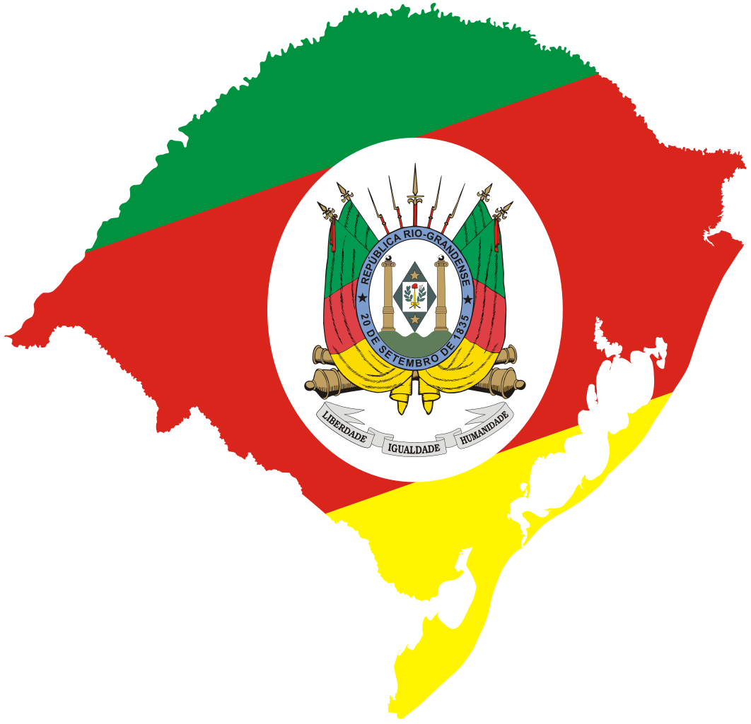
English: Flag map of Rio Grande do Sul |
| Date | |
| Source |
|
| Author |
|
| SVG development | This flag map was created with Adobe Illustrator. |
Licensing
This work is in the public domain in Brazil for one of the following reasons:
|
 |
I, the copyright holder of this work, hereby publish it under the following license:
This file is licensed under the Creative Commons Attribution 4.0 International license.
- You are free:
- to share – to copy, distribute and transmit the work
- to remix – to adapt the work
- Under the following conditions:
- attribution – You must give appropriate credit, provide a link to the license, and indicate if changes were made. You may do so in any reasonable manner, but not in any way that suggests the licensor endorses you or your use.
File history
Click on a date/time to view the file as it appeared at that time.
| Date/Time | Thumbnail | Dimensions | User | Comment | |
|---|---|---|---|---|---|
| current | 13:24, 12 December 2023 | | 671 × 647 (216 KB) | ReneeWrites | Uploaded own work with UploadWizard |
File usage
There are no pages that use this file.
Global file usage
The following other wikis use this file:
- Usage on ar.wikipedia.org
- Usage on en.wikipedia.org
- São Borja
- Venâncio Aires
- Montenegro, Rio Grande do Sul
- Rio Pardo
- São Leopoldo
- Canguçu
- Imbé
- Roque Gonzales, Rio Grande do Sul
- Santa Rosa, Rio Grande do Sul
- Osório, Rio Grande do Sul
- Horizontina
- Rota Romântica
- Canela, Rio Grande do Sul
- Barra do Quaraí
- Cachoeirinha
- Alegrete
- Cerro Largo, Rio Grande do Sul
- Carlos Barbosa
- Soledade
- Farroupilha
- Caminhos da Colônia
- Ruins of São Miguel das Missões
- Região das Hortênsias
- Morro do Diabo
- Derrubadas
- Esteio
- Agudo, Rio Grande do Sul
- São Nicolau, Rio Grande do Sul
- São Miguel das Missões
- Itapuca
- São Sebastião do Caí
- Tenente Portela
- Imigrante
- Jaguarão
- Tapes, Rio Grande do Sul
- Feliz
- São Domingos do Sul
- Cachoeira do Sul
- Sapucaia do Sul
- Missões
- Lagoon Mirim
- São Gonçalo Channel
- Guaíba (water body)
- Mata, Rio Grande do Sul
- Aratiba
- Serra Geral
View more global usage of this file.