
File:German Empire blank map.svg

Size of this PNG preview of this SVG file: 754 × 599 pixels. Other resolutions: 302 × 240 pixels | 604 × 480 pixels | 966 × 768 pixels | 1,280 × 1,018 pixels | 2,560 × 2,035 pixels | 1,425 × 1,133 pixels.
Original file (SVG file, nominally 1,425 × 1,133 pixels, file size: 1,011 KB)
Summary
| Description |
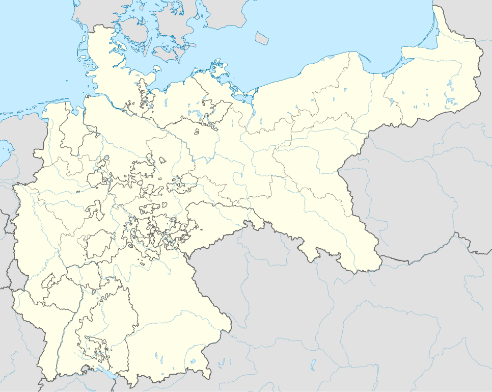
English: Location map of the German Empire |
| Date | |
| Source |
Own work |
| Author | Milenioscuro |
.svg)
.svg)
Licensing
I, the copyright holder of this work, hereby publish it under the following license:
This file is licensed under the Creative Commons Attribution-Share Alike 3.0 Unported license.
- You are free:
- to share – to copy, distribute and transmit the work
- to remix – to adapt the work
- Under the following conditions:
- attribution – You must give appropriate credit, provide a link to the license, and indicate if changes were made. You may do so in any reasonable manner, but not in any way that suggests the licensor endorses you or your use.
- share alike – If you remix, transform, or build upon the material, you must distribute your contributions under the same or compatible license as the original.
File history
Click on a date/time to view the file as it appeared at that time.
| Date/Time | Thumbnail | Dimensions | User | Comment | |
|---|---|---|---|---|---|
| current | 03:06, 2 August 2021 | | 1,425 × 1,133 (1,011 KB) | Milenioscuro | new scheme |
| 23:14, 2 November 2015 |  | 976 × 818 (756 KB) | Alphathon | Removed Dutch Zuiderzee Polders, which did not yet exist at the time of the German Empire | |
| 16:33, 2 November 2015 |  | 976 × 818 (759 KB) | Alphathon | Corrected Schleswig-Holstein border (was part of Prussia but was shown as being separate) | |
| 22:19, 9 September 2014 |  | 976 × 818 (767 KB) | Milenioscuro | User created page with UploadWizard |
File usage
There are no pages that use this file.
Global file usage
The following other wikis use this file:
- Usage on de.wikipedia.org
- Usage on sl.wikipedia.org