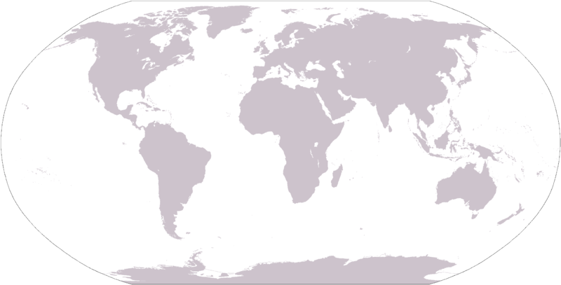
File:LocationWorld.png
Appearance

Size of this preview: 800 × 407 pixels. Other resolutions: 320 × 163 pixels | 640 × 326 pixels | 1,024 × 521 pixels | 1,280 × 651 pixels | 2,759 × 1,404 pixels.
Original file (2,759 × 1,404 pixels, file size: 54 KB, MIME type: image/png)
File history
Click on a date/time to view the file as it appeared at that time.
| Date/Time | Thumbnail | Dimensions | User | Comment | |
|---|---|---|---|---|---|
| current | 19:11, 8 March 2006 |  | 2,759 × 1,404 (54 KB) | David Kernow~commonswiki | Large plain-grey map of world created by adapting Image:LocationSouthAmerica.png. |
| 23:29, 6 August 2005 |  | 250 × 116 (16 KB) | Userlogin | ||
| 23:27, 6 August 2005 |  | 1,357 × 628 (33 KB) | Userlogin | world map from Wikipedia, colored by myself {{gfdl}} |
File usage
There are no pages that use this file.
Global file usage
The following other wikis use this file:
- Usage on av.wikipedia.org
- Usage on ba.wikipedia.org
- Амазонка
- Ломжа (ҡала)
- Бялысток
- Википедия:Ҡалыптар/Тамамланмаған мәҡәләләр
- Катовице
- Апеннин ярымутрауы
- Днепр
- Һыу хужалығы участкаһы
- Ниагара шарлауығы
- Донгхой
- Океания
- Ҡалып:Geo-stub
- Ивано-Франковск
- Днестр
- Прут (йылға)
- Припять (йылға)
- Ворскла
- Латорица
- Мурафа (йылға)
- Каменка (Днестр ҡушылдығы)
- Окница (йылға)
- Горынь (йылға)
- Стыр
- Сож
- Ларга (йылға)
- Диаоха
- Һөйәмә (тау)
- Арбаһуҡҡантау
- Калемегдан
- Өскөдар
- Тимер (тау)
- Usage on ca.wiktionary.org
- Usage on de.wikipedia.org
- Usage on en.wikipedia.org
- Usage on en.wikinews.org
- Usage on eo.wikipedia.org
- Usage on es.wikipedia.org
- Usage on is.wikipedia.org
- Usage on it.wikinews.org
- Usage on kk.wikipedia.org
- Usage on km.wikipedia.org
- Usage on ko.wikipedia.org
View more global usage of this file.


