
File:Location map of Union County, New Jersey.svg

Size of this PNG preview of this SVG file: 700 × 600 pixels. Other resolutions: 280 × 240 pixels | 560 × 480 pixels | 896 × 768 pixels | 1,195 × 1,024 pixels | 2,389 × 2,048 pixels.
Original file (SVG file, nominally 896 × 768 pixels, file size: 390 KB)
Summary
| Description |
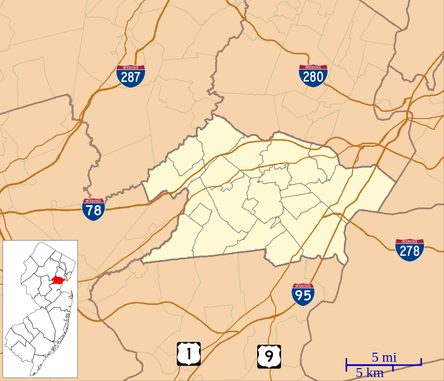
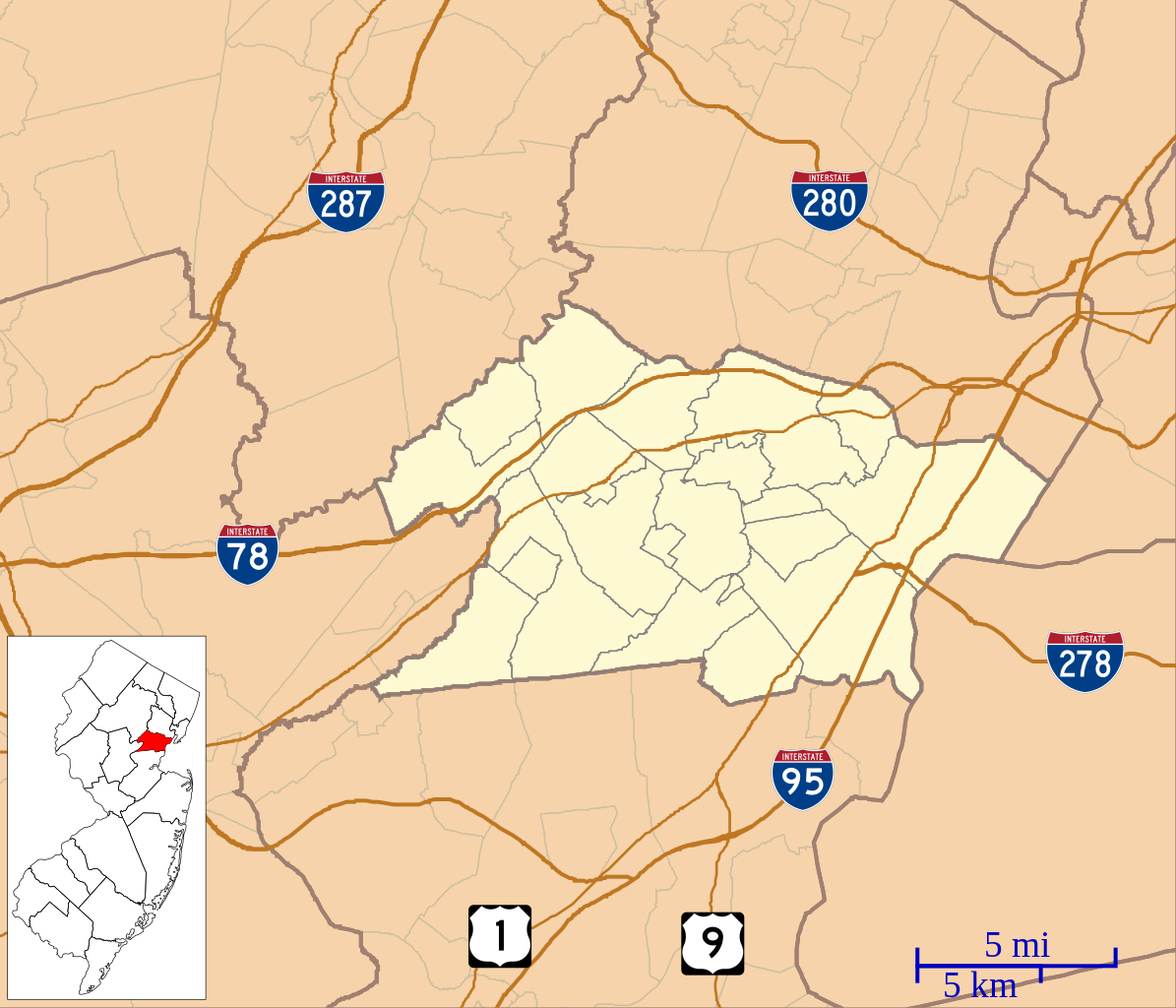
English: This is a map of Union County, New Jersey, USA which includes incorporated settlements, township borders, and major highways. |
| Date | |
| Source | My own work, using custom-written MapScript applications with United States Census Bureau data |
| Author | Omnedon |
Licensing
| I, the copyright holder of this work, release this work into the public domain. This applies worldwide. In some countries this may not be legally possible; if so: I grant anyone the right to use this work for any purpose, without any conditions, unless such conditions are required by law. |
File history
Click on a date/time to view the file as it appeared at that time.
| Date/Time | Thumbnail | Dimensions | User | Comment | |
|---|---|---|---|---|---|
| current | 20:49, 21 September 2012 | | 896 × 768 (390 KB) | Omnedon | == {{int:filedesc}} == {{Information |Description={{en|This is a map of Union County, New Jersey, USA which includes incorporated settlements, township borders, and major highways.}} |Source=My own work, using custom-wri... |
File usage
There are no pages that use this file.
Global file usage
The following other wikis use this file:
- Usage on ar.wikipedia.org
- Usage on azb.wikipedia.org
- Usage on ceb.wikipedia.org
- Usage on en.wikipedia.org
- Plainfield, New Jersey
- Cranford, New Jersey
- Murray Hill, New Jersey
- Berkeley Heights, New Jersey
- Clark, New Jersey
- Elizabeth, New Jersey
- Fanwood, New Jersey
- Garwood, New Jersey
- Hillside, New Jersey
- Kenilworth, New Jersey
- Linden, New Jersey
- Mountainside, New Jersey
- New Providence, New Jersey
- Rahway, New Jersey
- Roselle, New Jersey
- Roselle Park, New Jersey
- Scotch Plains, New Jersey
- Springfield Township, Union County, New Jersey
- Summit, New Jersey
- Union Township, Union County, New Jersey
- Westfield, New Jersey
- Winfield Township, New Jersey
- Kean University
- Baltusrol Golf Club
- Bayway Refinery
- Reeves-Reed Arboretum
- Evergreen Cemetery (Hillside, New Jersey)
- Fanwood station
- Netherwood station
- Free Acres, New Jersey
- Vauxhall, New Jersey
- Twin Maples
- St. John's Episcopal Church (Elizabeth, New Jersey)
- Boxwood Hall
- Liberty Hall (New Jersey)
- Caldwell Parsonage
- Connecticut Farms Presbyterian Church
- Feltville Historic District
- 1993 U.S. Open (golf)
- 1980 U.S. Open (golf)
- 1967 U.S. Open (golf)
- 1954 U.S. Open (golf)
View more global usage of this file.