
File:Vulkankegel auf Lanzarote 7284.jpg

Original file (5,616 × 3,744 pixels, file size: 10.2 MB, MIME type: image/jpeg)
Summary
| Description |
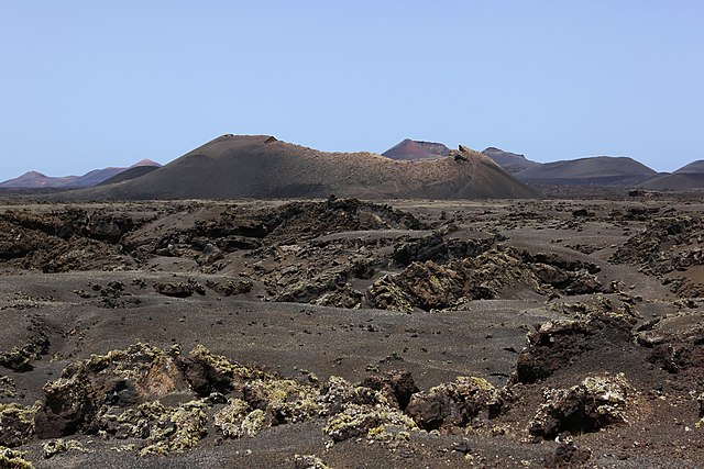
Deutsch: Vulkankrater Montaña de las Lapas auf Lanzarote, Lugar Tiguatón, umflossen von erstarrter Lava die mit Vulkanasche bedeckt wurde. Der Durchm. am oberen Rand des Vulkanes beträgt ca. 200m.
|
| Date | |
| Source | Own work |
| Author | Alchemist-hp (talk) (www.pse-mendelejew.de) |
| Camera location | | View this and other nearby images on: OpenStreetMap |
|---|

|
This photo was taken by Alchemist-hp. If you use one of my photos, an email (account needed) or a message or direct to: my email account would be greatly appreciated. |
|
This file is copyrighted and has been released under a license which is incompatible with Facebook's licensing terms. It is not permitted to upload this file to Facebook. |
Licensing
| Copyleft: This work of art is free; you can redistribute it and/or modify it according to terms of the Free Art License. You will find a specimen of this license on the Copyleft Attitude site as well as on other sites. |
Please select "one" of your favorite license.

|
This file is licensed under the Creative Commons ‘Attribution-NonCommercial-NonDerivative 3.0 (US)’ |
Assessment
This image has been assessed using the Quality image guidelines and is considered a Quality image.
|
| Annotations | This image is annotated: View the annotations at Commons |
File history
Click on a date/time to view the file as it appeared at that time.
| Date/Time | Thumbnail | Dimensions | User | Comment | |
|---|---|---|---|---|---|
| current | 19:32, 11 October 2010 | | 5,616 × 3,744 (10.2 MB) | Alchemist-hp | == {{int:filedesc}} == {{Information |Description={{de|1=Vulkankrater auf Lanzarote, umflossen von erstarrter Lava die mit Vulkanasche bedeckt wurde.}} {{en|1=[[en:Volcanic crat |
File usage
There are no pages that use this file.
Global file usage
The following other wikis use this file:
- Usage on de.wikipedia.org
- Usage on fr.wikipedia.org
- Usage on ka.wikipedia.org
- Usage on xmf.wikipedia.org